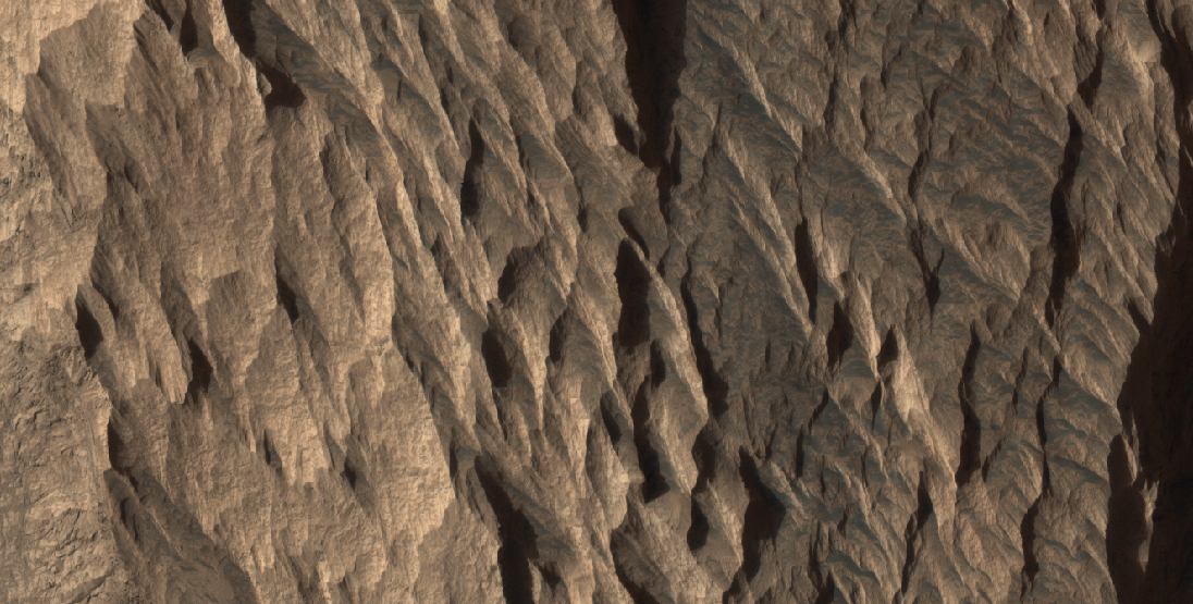
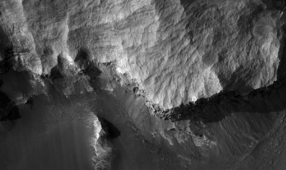
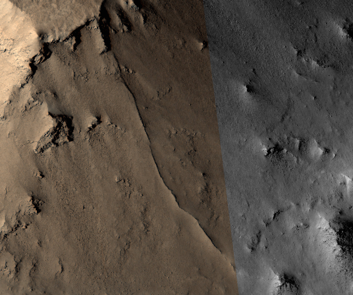
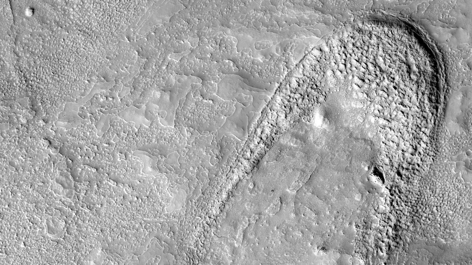
Several different surface textures are present on the lower elevations of Iani Chaos.
Orbit Number: 52283 Latitude: -0.827418 Longitude: 341.65 Instrument: VIS Captured: 2013-09-26 20:57
Photo credit: NASA/JPL-Caltech/Arizona State University
Several different surface textures are present on the lower elevations of Iani Chaos.
Orbit Number: 52283 Latitude: -0.827418 Longitude: 341.65 Instrument: VIS Captured: 2013-09-26 20:57

This scene shows the "Murray Ridge" portion of the western rim of Endeavour Crater on Mars. The ridge is the NASA's Mars Exploration Rover Opportunity's work area for the rover's sixth Martian winter.
The ridge rises about 130 feet (40 meters) above the surrounding plain, between "Solander Point" at the north end of the ridge and "Cape Tribulation," beyond Murray Ridge to the south. This view does not show the entire ridge. The visible ridge line is about 10 meters (33 feet) above the rover's location when the component images were taken.
The scene sweeps from east to south. The planar rocks in the foreground at the base of the hill are part of a layer of rocks laid down around the margins of the crater rim. At this location, Opportunity is sitting at the contact between the Meridiani Planum sandstone plains and the rocks of the Endeavour Crater rim. On the upper left, the view is directed about 22 kilometers (14 miles) across the center of Endeavour crater to the eastern rim.
Opportunity landed on Mars in January 2004 and has been investigating parts of Endeavour's western rim since August 2012.
The scene combines several images taken by the panoramic camera (Pancam) on NASA's Mars Exploration Rover Opportunity during the 3,446th Martian day, or sol, of the mission's work on Mars (October 3, 2013) and the following three sols. On Sol 3451 (October 8, 2013), Opportunity began climbing the ridge. The slope offers outcrops that contain clay minerals detected from orbit and also gives the rover a northward tilt that provides a solar-energy advantage during the Martian southern hemisphere's autumn and winter.
The rover team chose to call this feature Murray Ridge in tribute to Bruce Murray (1931-2013), an influential advocate for planetary exploration who was a member of the science teams for NASA's earliest missions to Mars and later served as director of NASA's Jet Propulsion Laboratory, in Pasadena.
This view is presented in approximately true color, merging exposures taken through three of the Pancam's color filters, centered on wavelengths of 753 nanometers (near-infrared), 535 nanometers (green) and 432 nanometers (violet).

This image shows several wind streaks in Syrtis Major Planum.
Orbit Number: 52279 Latitude: 9.12948 Longitude: 69.5053 Instrument: VIS Captured: 2013-09-26 14:58

Branches in the 2 km-wide trough of Ismeniae Fossae are seen in close-up detail in this scene. Material in the channels likely derived from the walls subsequently transported by glaciers or water flowing through the region. Smaller dendritic valley systems formed by water – possibly from melting ice – are seen at the bottom left and in the upper right portion of the image. The clusters of circular to elliptical depressions in the bottom left may be either secondary impact craters from debris flung out by larger impact craters, or collapse pits caused by the sublimation of subsurface ice.
This region was imaged by the High Resolution Stereo Camera on ESA’s Mars Express on 16 June 2013 (orbit 11709), with a ground resolution of about 20 m per pixel. The scene is located at approximately 40°N / 42°E.

This VIS image shows a small portion of the lava flows that comprise Daedalia Planum.
Orbit Number: 52274 Latitude: -22.4732 Longitude: 238.098 Instrument: VIS Captured: 2013-09-26 03:18

This scene shows a section of Ismeniae Fossae that straddles the southern highlands–northern lowlands of Mars. The 2 km-wide curvilinear trough that runs through this image contains numerous parallel grooves and ridges comprising material from the trough walls and material that has been dragged along the floor by ancient glaciers and ice-rich flows.
In the left portion of the scene the channel truncates a roughly 25 km-wide crater. Material in the crater walls has slumped down into the channel, smoothing over the grooved floor.
Around this crater, and elsewhere in Ismeniae Fossae, clusters of circular to elliptical, partially interconnected depressions are observed. These may be either secondary impact craters from debris flung out by larger impact craters, or collapse pits caused by the sublimation of subsurface ice.
The western portion of the 138 km-wide Moreux Crater is seen in the bottom right of the image. Numerous small dendritic valley systems west of the crater provide further evidence of water flowing in this region at some point in the Red Planet’s past, perhaps as water melting from the ice thought to have once covered this region.
The image was taken by the High Resolution Stereo Camera on ESA’s Mars Express on 16 June 2013 (orbit 11709), with a ground resolution of about 20 m per pixel. The image centre is at approximately 40°N / 42°E.

Does this observation show a possible proto-pedestal crater?
This crater has a ring trough, but the inner circle around the crater does not appear significantly elevated. Why did the ring around the crater collapse before anything else? Could it be an example of ice sublimating from below the surface?
A high resolution image shows us better details, as we can see in this close-up.

This image covers part of the Athabasca Valles flood lava plain, the youngest large lava flow on the surface of Mars.
At this location, there are two rafted pieces of lava crust with strange infrared properties. Compared to the rest of the lava flow, these two raised areas are cold at night and warm in the day. This property of the surface, where the temperature changes quickly, is called "low thermal inertia." Rocks tend to have relatively high thermal inertia, so this is unexpected.
This image confirms speculation from earlier, lower resolution images. The rafts are composed of broken up (brecciated) lava, forming an extraordinarily rough surface. Normally, such a jagged pile of lava rocks would have high thermal inertia. But in this location, the rough surface has served as a trap for wind-carried dust. Thus in these rafts, and only in these rafts, is the lava covered by a thick pile of fluffy dust.
Such dust is extremely insulating, meaning that all the solar heating is deposited in a very thin layer near the surface. Therefore, dust gets relatively hot during the day. Because the heat is deposited so shallowly, it is easily lost at night. So, the trapped dust is the explanation for the low thermal inertia of these lava rafts.

Today's VIS image shows wind streaks in Syrtis Major Planum.
Orbit Number: 52254 Latitude: 5.90248 Longitude: 69.7373 Instrument: VIS Captured: 2013-09-24 13:03

This target was one of the first close HiRISE views of the enigmatic Valles Marineris interior layered deposits. These light-toned sedimentary deposits are of interest to scientists because they are partially composed of minerals like hematite that likely formed in the presence of liquid water.
The lighter-tone linear units to the north are called "yardangs" and formed when downslope winds carved the fragile sandstone into channels. Over time, wind and gravity conspire to erode material downslope and onto the canyon floor. The darker-toned sandy deposits at the cliff base contain high concentrations of hematite (along with basaltic or volcanic sand) known from infrared orbital measurements.
HiRISE resolution can clearly show outcrops mass wasting finer materials out, and darker layers that are likely hematite-bearing units. This is an excellent candidate for what's called a "hematite lag deposit," where more resistant iron-rich hematite concretions have weathered out of the brittle mesa driven by gravity and wind, similar to that observed at the Mars Exploration Rover Opportunity landing site.

This VIS image shows part of the sand sheet and dunes on the floor of Rabe Crater.
Orbit Number: 52231 Latitude: -43.6577 Longitude: 34.2642 Instrument: VIS Captured: 2013-09-22 14:29

Straight and meandering thin ridges are periodically found on Mars. Such ridges can form in a variety of ways.
Rivers beneath glaciers can deposit rocks and sand leaving a raised ridge, called an esker, when the glacier retreats. Sometimes sandy river beds can become cemented by minerals. Later when the river is gone and the uncemented soils next to the old river bed are eroded more easily, the old river bed itself is left standing.
In this observation, relatively straight and narrow ridges are found crisscrossing the slopes between rocky mesas and adjacent valleys. That these ridges extend along steep slopes is unlike the water-born ridges mentioned above. Additionally, some ridges appear to connect through the mesa and extend also down the opposite slope. These features of the ridges suggest that they cut deep into the interior of the mesas.
A ridge of volcanic rock called a dike occurs when magma is squeezed into a deep fracture in the surrounding rock and upward to (or near) the surface. This magma cools and solidifies into a strong rock that resists erosion better than the fracture rock the magma squeezed into earlier. When erosion of these rocks occurs, the harder volcanic rock is left standing as a ridge and reveals the underground plumbing system of the volcanic vent.

Today's VIS image shows a delta deposit where a tributary channel enters Ismenius Cavus in Mamers Valles.
Orbit Number: 52206 Latitude: 33.891 Longitude: 17.5017 Instrument: VIS Captured: 2013-09-20 14:40

This view taken from orbit shows a cluster of small, steep-sided knobs called "Murray Buttes," on the planned route for NASA's Mars rover Curiosity to reach the slopes of Mount Sharp.
The scene covers a patch of ground about 0.8 mile (1.3 kilometers) across. North is up. The largest buttes in the group are about the size of a football field and the height of a goal post. Darker ground at upper right and lower left is part of sand dunes along the northern edge of Mount Sharp, within Gale Crater. Murray Buttes is located at a gap in that band of dunes, making passage through this area an attractive access route to the mountain slopes just south of this scene.
Curiosity's science team chose the informal name Murray Buttes in tribute to Bruce Murray (1931-2013), an influential advocate for planetary exploration who was a member of the science teams for NASA's earliest missions to Mars and later served as director of NASA's Jet Propulsion Laboratory.

This VIS image shows part of the sand sheet and dunes on the floor of Rabe Crater.
Orbit Number: 52206 Latitude: -43.6487 Longitude: 34.9565 Instrument: VIS Captured: 2013-09-20 13:07
Billions of years ago when the planets of our solar system were still young, Mars was a very different world. Liquid water flowed in long rivers that emptied into lakes and shallow seas. A thick atmosphere blanketed the planet and kept it warm. In this cozy environment, living microbes might have found a home, starting Mars down the path toward becoming a second life-filled planet next door to our own.
But that's not how things turned out.
Today, Mars is bitter cold and desiccated. The planet's thin, wispy atmosphere provides scant cover for a surface marked by dry riverbeds and empty lakes. If Martian microbes still exist, they're probably eking out a meager existence somewhere beneath the dusty Martian soil.
What happened? This haunting question has long puzzled scientists. To find the answer, NASA is sending a new orbiter to Mars called MAVEN (Mars Atmosphere and Volatile Evolution).
"The goal of MAVEN is to figure out what processes were responsible for those changes in Martian climate," says Bruce Jakosky, Principal Investigator for MAVEN at the University of Colorado at Boulder.
Scheduled for launch in November 2013, and due to arrive in September 2014, MAVEN is bristling with instruments to study Mars’ upper atmosphere. That's where many researchers believe the answer lies.
The only way Mars could have been wet and warm 4 billion years ago, is if it also had a thick atmosphere. CO2 in the Martian atmosphere is a greenhouse gas, just as it is in our own atmosphere. A thick blanket of CO2 and other greenhouse gases would have provided the warmer temperatures and greater atmospheric pressure required to keep liquid water from freezing solid or boiling away.
Something caused Mars to lose that blanket. One possibility is the solar wind. Unlike Earth, Mars is not protected by a global magnetic field. Instead, it has “magnetic umbrellas” scattered around the planet that shelter only part of the atmosphere. Erosion of exposed areas by solar wind might have slowly stripped the atmosphere away over billions of years. Recent measurements of isotopes in the Martian atmosphere by Mars rover Curiosity support this idea: light isotopes of hydrogen and argon are depleted compared to their heavier counterparts, suggesting that they have floated away into space.
Scientists have also speculated that the planet's surface might have absorbed the CO2 and locked it up in minerals such as carbonate. However, this theory has faded in recent years as Mars rovers and orbiters have failed to find enough carbonate to account for the missing gas.
MAVEN will be the first mission to Mars specifically designed to help scientists understand the ongoing escape of CO2 and other gases into space. The probe will orbit Mars for at least one Earth-year. At the elliptical orbit's low point, MAVEN will be 125 km above the surface; its high point will take it more than 6000 km out into space. MAVEN's instruments will track ions and molecules in this broad cross-section of the Martian atmosphere, thoroughly documenting the flow of CO2 and other molecules into space for the first time.
Once Jakosky and his colleagues know how quickly Mars is losing CO2 right now, they can extrapolate backward in time to estimate the total amount lost during the last four billion years. "MAVEN will determine if loss to space was the most important player in driving Martian climate change," Jakosky says.
In the grand scheme of the Solar System, Earth orbits alongside a world that began with as much promise for life as our own … yet turned out so differently. After all these years, MAVEN could write the final chapter in a haunting planetary mystery.

The linear depressions in this VIS image are part of Memnonia Fossae.
Orbit Number: 52200 Latitude: -21.509 Longitude: 211.495 Instrument: VIS Captured: 2013-09-20 01:09

Sand dunes such as those seen in this image have been observed to creep slowly across the surface of Mars through the action of the wind. These are a particular type of dune called a "barchan," which forms when the wind blows in one direction (here, east to west) for long periods of time. Barchan dunes are common on Mars and in the desert regions of the Earth.
These barchan dunes are located on the western rim of the Hellas impact basin, in the Southern hemisphere of Mars. This area is covered by extensive deposits of layered rocks that were initially deposited as loose sediments and over time formed these rock layers. Portions of these layered rocks were subsequently eroded away and the remaining layers now form numerous flat-topped hills called "mesas." The barchan dunes are forming in the lee (downwind) of the mesas.
This area was previously image by HiRISE in 2008 (PSP_007676_1385) and was retargeted here through a public request (http://www.uahirise.org/hiwish). Careful comparison of repeat images such as these can reveal the speed and manner by which dunes move across the Martian surface. This information can be used to study the current atmosphere of Mars, the age and mobility of sand deposits on the planet's surface, and the hazards that sand dunes may pose to landed vehicles such as rovers.
Over the course of its mission, the science instruments on board the Mars Reconnaissance Orbiter (MRO) have returned over 200 terabits of data back to Earth. This image was taken on November 4, 2013, the same day that MRO's 200-terabit mark was surpassed.

This area--known as the Deuteronilus contact of the Isidis Basin--has been interpreted as a possible ancient shoreline. There are also suggestions that this contact is of volcanic origin.
One direct benefit of a high resolution image is the ability to monitor the detailed morphology of the contact to help to determine whether this formation is the result of an ocean or of a volcanic filling of the Isidis Basin.

This image shows an impact crater with a diameter of approximately 2 kilometers located in the Coloe Fossae region of Mars.
It is partially filled with a sediment flow that has breached the south rim and continues northwards for approximately 4 kilometers before abruptly terminating in a rounded lobe of blocky material.

Many gullies are located on the northern rim of this unnamed crater in Noachis Terra. Small dunes are located on the floor of the crater (lower left side of image).
Orbit Number: 52181 Latitude: -34.5275 Longitude: 37.2263 Instrument: VIS Captured: 2013-09-18 01:00

Many types of craters exist on Mars. Most are generated by impacts of asteroids and comets.
In this area though, we think these craters may be due to steam explosions. This happens on the Earth when hot lava runs over icy ground.

The channels in this VIS image are a small portion of the channel complex called Arda Valles.
Orbit Number: 52171 Latitude: -20.3227 Longitude: 327.655 Instrument: VIS Captured: 2013-09-17 15:52

Tharsis Tholus is one of the smaller shield volcanoes on Mars' massive "Tharsis Rise." The main shield is covered by a very thick blanket (or "mantle") of loose material. This is likely to be the same dust that is found across all of Mars.
It accumulates on the tall volcanoes because the thin atmosphere at these elevations has a very hard time moving the dust after it is dropped out from the global dust storms. But another reason for the great thickness of the mantle here could be volcanic ash derived from the volcanoes themselves.
The flanks of Tharsis Tholus are cut by large channels, similar to those visible on other Martian shield volcanoes like Arsia Mons and Elysium Mons. Like the channels on those volcanoes, these channels probably formed by a combination of erosion by flowing lava, and the collapse of the volcano under its own weight. However, because of the thick covering, we cannot say this definitively.
A striking feature at the northern end of this image is the fact that the dust cover is much thinner on the lava flows that surround the shield. This indicates (1) the surrounding lavas are much younger than the shield and (2) the mantle on the volcanoes is old.

A small landslide deposit is visible in this VIS image of an unnamed crater.
Orbit Number: 52166 Latitude: -7.06073 Longitude: 113.607 Instrument: VIS Captured: 2013-09-17 05:56

Today's VIS image shows several features in Shalbatana Vallis. There is a tributary channel that appears to have created a delta deposit in the upper half of the image, and several landslide deposits in the lower half of the image.
Orbit Number: 52158 Latitude: 2.906 Longitude: 316.768 Instrument: VIS Captured: 2013-09-16 16:03

Many dark slope streaks mark the rim of this unnamed crater in Terra Sabaea. There is a large group of streaks that are darker than the others streaks on the crater rim. It is likely that the formation of the darker set are more recent that the lighter set, as dust settling from the atmosphere brightens the surface over time.
Orbit Number: 52155 Latitude: 6.84297 Longitude: 43.8072 Instrument: VIS Captured: 2013-09-16 10:06

This is only one of four impact craters known that possesses intact layers exposed in the central uplift.
Scientists believe this layered material originates from kilometers beneath the present surface and is raised up during the formation of the crater itself. These craters give us a window into these deep layers, which would otherwise remain hidden.
This is a stereo pair with PSP_007100_1520.

This particular area, called Mangala Valles and located near the Tharsis region, may be an example of the action of liquid water in the ancient Martian past.
It's possible that the wide and short channels visible here may have formed by the motion of groundwater, similar to way channels like these form on Earth.
This is a stereo pair with ESP_033053_1640.

This VIS image shows a small portion of the lava flows that make up Daedalia Planum.
Orbit Number: 52124 Latitude: -20.41 Longitude: 242.544 Instrument: VIS Captured: 2013-09-13 19:03

This non-circular pit is due to a low angle impact from an asteroid or comet. The raised plateau west of the crater was where most of the impact debris landed.
This debris protected the material underneath, but else where this material was slowly removed by the wind and the debris-covered area was left behind as this high-standing and interestingly-shaped plateau.
(Note: the wallpaper images have been rotated 90 degrees counterclockwise for better effect.)

This VIS image of Ophir Chasma shows part of a large landslide deposit.
Orbit Number: 52110 Latitude: -3.25696 Longitude: 288.504 Instrument: VIS Captured: 2013-09-12 15:19

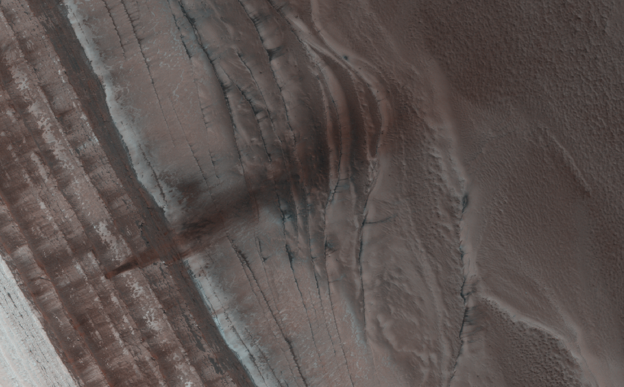
The North Polar region of Mars is capped with layers of water ice and dust, called the "polar layered deposits." This permanent polar cap is covered in the winter with a layer of seasonal carbon dioxide ice.
When the sun rises in the spring, the steep edges of the polar layered deposits are the first to warm up. The dry ice sublimes (going directly from a solid to a gas) and destabilizes loose chunks perched on the steep cliff. Material from the weaker layers gets dislodged and cascades down the steep slope.
Here, we can see a dark streak marking the path of that loose material, approximately 1 kilometer wide. HiRISE images often show avalanches in progress in the springtime along the edge of the polar layered deposits in this area.

The small hill in this image of Amazonis Planitia has several dark slope streaks. These features are believed to form when down slope movement of rocks or other debris clear off some of the dust cover, revealing the darker rock material.
Orbit Number: 52100 Latitude: 13.5496 Longitude: 190.27 Instrument: VIS Captured: 2013-09-11 21:00

Today's VIS image shows lava flows in Daedalia Planum.
Orbit Number: 52099 Latitude: -21.4867 Longitude: 243.094 Instrument: VIS Captured: 2013-09-11 17:41

The low ridge that appears as a dark band below the horizon in the center of this scene is a Martian outcrop called "Cooperstown," a possible site for contact inspection with tools on the robotic arm of NASA's Mars rover Curiosity. The ridge extends roughly 100 feet (about 30 meters) from left to right, and it is about 260 feet (about 80 meters) away from the location from which Curiosity captured this view.
The image combines portions of two frames taken by the Navigation Camera (Navcam) on Curiosity on the 437th Martian day, or sol, of the rover's mission inside Gale Crater on Mars (October 28, 2013).
Curiosity had just completed the mission's first use of two-sol autonomous driving. It resumed autonomous driving on Sol 437 where it had left off driving on Sol 436 (October 27, 2013). In autonomous driving, the rover itself chooses the best route to reach designated waypoints, using onboard analysis of stereo images that it takes during pauses in the drive. The combined two-sol drive that brought Curiosity to this vantage point, for seeing Cooperstown, covered about 410 feet (125 meters).
The left edge of the scene is toward south-southwest, with an edge of Mount Sharp on the horizon; the right edge is toward the west, with part of the rim of Gale Crater on the horizon.

Today's VIS image shows another portion of Ravi Vallis (see PIA17545). In this image a small crater and the resistant material formed during the impact form a "donut" on the floor of the valley.
Orbit Number: 52058 Latitude: -0.104303 Longitude: 319.153 Instrument: VIS Captured: 2013-09-08 10:35

The channels in this VIS image are part of Ravi Vallis.
Orbit Number: 52008 Latitude: -0.038353 Longitude: 320.536 Instrument: VIS Captured: 2013-09-04 07:50

Dark dunes are located on the floor of an unnamed crater inside Firsoff Crater.
Orbit Number: 51982 Latitude: 2.88772 Longitude: 350.44 Instrument: VIS Captured: 2013-09-02 04:02

NASA's Mars Exploration Rover Opportunity captured this southward uphill view after beginning to ascend the northwestern slope of "Solander Point" on the western rim of Endeavour Crater.
The view combines five frames taken by Opportunity's navigation camera on the 3,463rd Martian day, or sol, of the rover's work on Mars (October 21, 2013). Opportunity had begun climbing the hill on Sol 3451 (October 8) and completed three additional uphill drives before reaching this point.
The rover team is using the rover to investigate outcrops on the slope. The northward-facing slope will tilt the rover's solar panels toward the sun in the southern-hemisphere winter sky, providing an important energy advantage for continuing mobile operations through the upcoming winter.
The scene extends from east-southeast on the left (with a glimpse across Endeavour Crater) to west-northwest on the right. It is presented as a seam-corrected cylindrical projection.

The channel in this VIS image is part of a large system of depressions located on the eastern side of the Elysium Mons volcanic complex. The depression in this image is located just south of Albor Tholus.
Orbit Number: 51964 Latitude: 16.9564 Longitude: 151.246 Instrument: VIS Captured: 2013-08-31 16:51

This image shows several of the channels located in the Elysium Mons volcanic complex. It is likely that these channels were formed by lava flow rather than water.
Orbit Number: 51952 Latitude: 31.5629 Longitude: 139.321 Instrument: VIS Captured: 2013-08-30 17:04

This VIS image shows one of the two landslide deposits within this unnamed crater north of Ares Vallis.
Orbit Number: 51920 Latitude: 12.4197 Longitude: 338.977 Instrument: VIS Captured: 2013-08-28 01:59

Today's VIS image was collected at the same time as yesterday's IR image. The ridge at the top of this image was the source of some of the landslides in the IR image.
Orbit Number: 51935 Latitude: -12.5409 Longitude: 291.998 Instrument: VIS Captured: 2013-08-29 05:46

The landslide deposits in this IR image are located in Valles Marineris and are called Coprates Labes.
Orbit Number: 51935 Latitude: -12.6599 Longitude: 291.987 Instrument: IR Captured: 2013-08-29 05:45

Today's VIS image shows part of the dune field on the floor of Proctor Crater.
Orbit Number: 51794 Latitude: -47.4051 Longitude: 30.9037 Instrument: VIS Captured: 2013-08-17 15:31

Dark slope streaks are common in Lycus Sulci, the complex ridged terrain surrounding the north and west side of Olympus Mons.
Orbit Number: 51949 Latitude: 29.862 Longitude: 225.603 Instrument: VIS Captured: 2013-08-30 11:09

Dark slope streaks are common throughout Lycus Sulci.
Orbit Number: 51837 Latitude: 19.097 Longitude: 212.486 Instrument: VIS Captured: 2013-08-21 06:00

Significant wind erosion has sculpted these materials located south of Olympus Mons.
Orbit Number: 51824 Latitude: 8.18554 Longitude: 225.7 Instrument: VIS Captured: 2013-08-20 04:26

This VIS image of Baltisk Crater shows a sand sheet on the crater floor and channels dissecting the outer rim.
Orbit Number: 51797 Latitude: -41.8923 Longitude: 305.466 Instrument: VIS Captured: 2013-08-17 21:25

Part of the [north-eastern] summit caldera of Olympus Mons is visible at the bottom of this image.
Orbit Number: 51824 Latitude: 19.1853 Longitude: 227.243 Instrument: VIS Captured: 2013-08-20 04:22