Today's VIS image shows Tinto Vallis (middle of image) and Palos Crater (top of image).
Orbit Number: 51217 Latitude: -3.24903 Longitude: 110.809 Instrument: VIS Captured: 2013-07-01 03:49
Photo credit: NASA/JPL-Caltech/Arizona State University
Today's VIS image shows Tinto Vallis (middle of image) and Palos Crater (top of image).
Orbit Number: 51217 Latitude: -3.24903 Longitude: 110.809 Instrument: VIS Captured: 2013-07-01 03:49

The wide channel in this VIS image is Tinto Vallis.

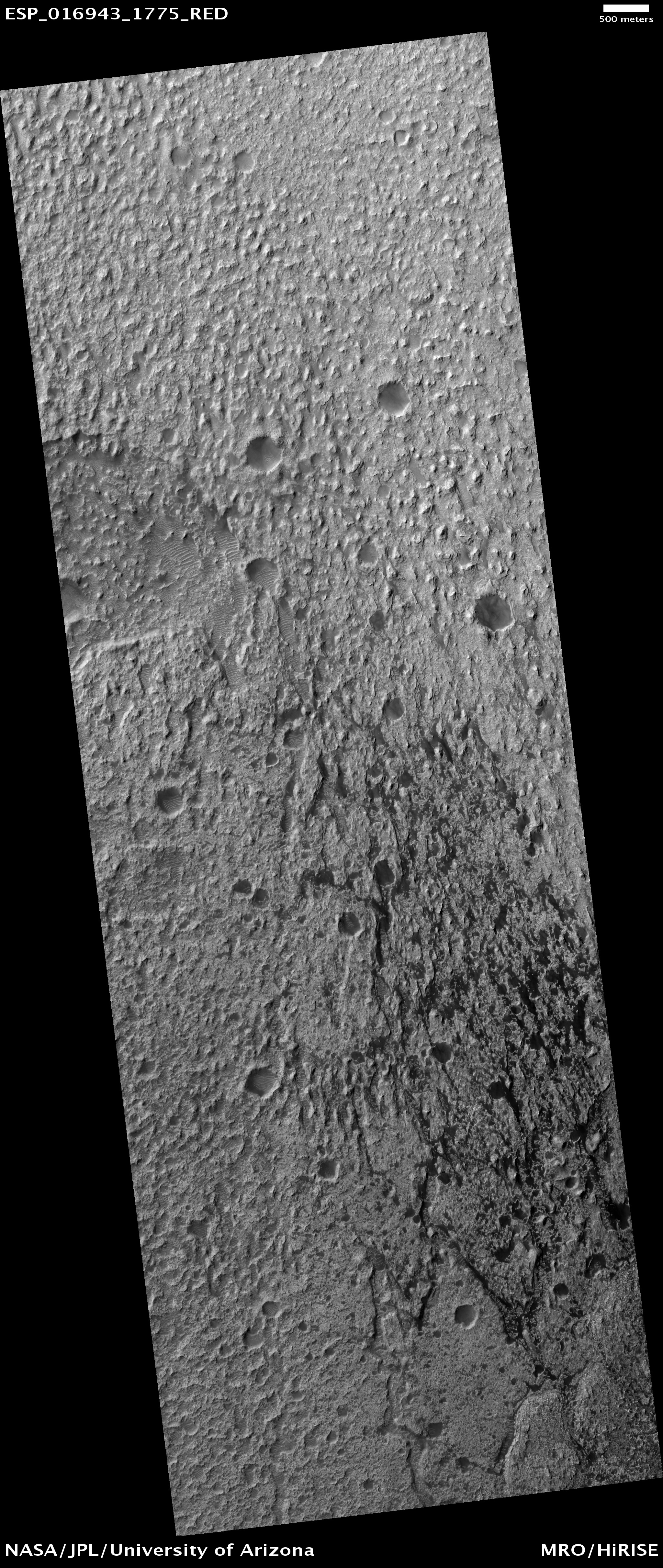
This image shows a portion of the floor in Palos Crater. The floor appears bumpy with high-standing layered knobs. Most of the terrain on the floor is weathering into meter-size polygonal blocks. The circular structures in the image, many of which are filled with darker aeolian material, are eroded impact craters.
Palos Crater is breached in the south by the 180 kilometers-long Tinto Vallis. Water transported along Tinto Vallis could have could have collected into Palos Crater to form a lake that later drained to the north. Sediments carried by Tinto Vallis would have also been deposited within Palos Crater so the layered unit we see along the floor today could represent these fluvial sediments.