Showing posts with label Arcuate Ridges. Show all posts

Monday, November 14, 2011

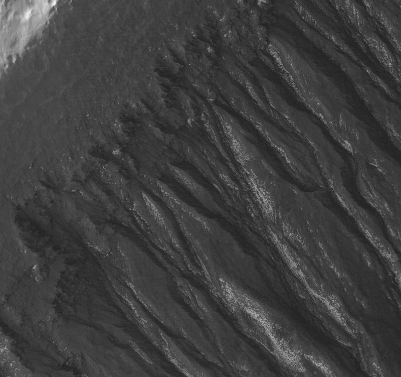
Gullies and Lobate Material in a Crater in the Nereidum Montes


This image includes a crater that has been heavily influenced by later geologic processes.

First of all, terrain-altering or -burying processes have eliminated much of the pattern of ejecta that surrounds fresh craters. The crater also appears fairly flat-floored with short walls (not very deep) for its size, indicating material has filled it in. These modifying effects may be due to deposition and activity of ice-rich or other mantling sediments deposited at some point in the past.

Finally, the crater clearly exhibits gullies starting on its northern wall and extending to its center. The arc-shaped ridge inside the southern edge of the crater, partially buried by the filling material, is particularly curious - it could be a wind-caused or other accumulation of crater-fill material.

One of the rationales for acquiring an image of this location is to investigate the relationship between these features; HiRISE's full resolution can provide better details of the terrain.

Photo credit: NASA/JPL/University of Arizona

Note: This crater lies in the Nereidum Montes, which is the mountainous terrain to the northwest of Argyre Planitia.

Saturday, October 1, 2011

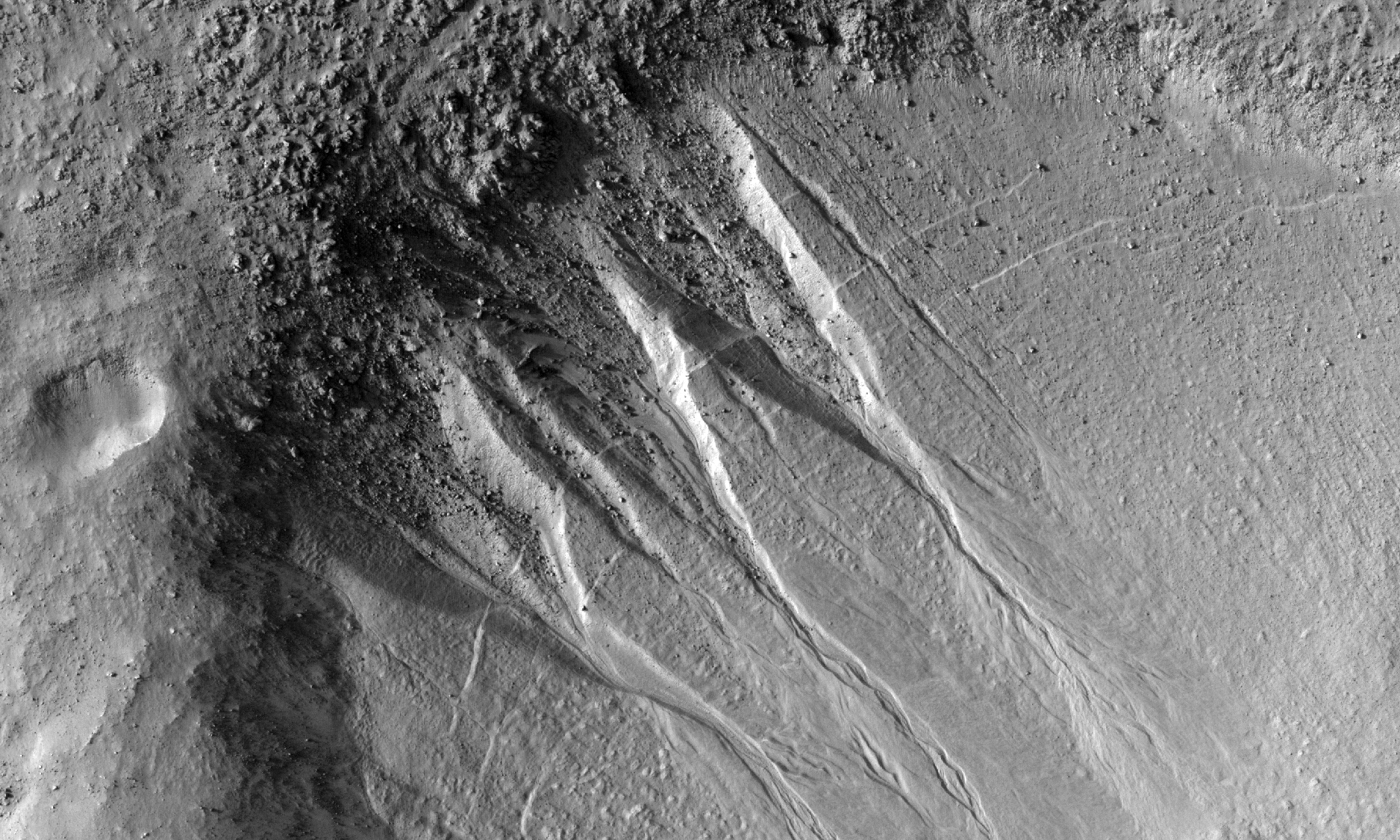
Gullies and Curved Ridges at the Base of Crater Walls


This southern mid-latitude crater is typical of other small craters in this latitude band, containing both gullies on its walls and arcuate ridges at the base of the walls.

These features appear inter-related and their orientation on the crater wall can be associated with the latitude of the crater. Craters at latitudes between about -30 and -44 degrees (in the Southern hemisphere) typically have pole-facing gullies and curved ridges. Craters at latitudes between -44 degrees and -60 degrees (as is this one at -47 degrees) typically have these features on equator-facing walls, or on the east and west walls. This is thought to relate to changes in the obliquity of Mars.

These features likely formed during a period of high obliquity (tens of millions of years ago). During this time, it is thought that snowfall was deposited in these mid-latitude regions, and the high tilt of the planet led to higher degrees of solar insolation on the different crater walls, causing the snow to melt and form gullies. The arcuate ridges are thought to be moraines, or remnants of snowpacked ice flowing down the crater wall and onto the crater floor.

Photo credit: NASA/JPL/University of Arizona

Note: This crater is located slightly to the southwest of Hellas Planitia; the closest named crater to this site is Matara Crater.

Saturday, November 6, 2010

Curvilinear Ridge in Terra Meridiani


This image shows an arcuate ridge in Terra Meridiani. The ridge is most likely a former streambed, now exposed in inverted relief; the wandering path is not expected for an exhumed fault or volcanic dyke. The stream that formed this ridge must have been ancient as the ridge is buried by brighter rocks, which are themselves very old, having been thickly deposited and then heavily eroded.

The Mars Exploration Rover Opportunity landed in the same region of Mars, and the rocks it has examined are likely part of a sequence similar to that exposed here. The rocks exposed at the Opportunity landing site are mostly aeolian (wind-deposited) sandstone, but show evidence of past water reaching the surface at times. Opportunity has access to only a few meters of a stack of sediments that is hundreds of meters thick.

Since water was present at times at the Opportunity landing site, surface water elsewhere in the sequence of sediments is perhaps not too surprising. However, evidence like this may indicate that sediments were deposited by a broader range of processes than just those inferred at the Opportunity site. This is important for unraveling the entire history of the region.

A stream channel could become inverted in several ways. Chemicals precipitating from the water could bind the streambed together, lava could fill the channel, or the bed could contain large boulders. In each case, the relatively resistant material of the stream channel could remain as the surrounding rock eroded. Here, the ridge is distant from any volcanic vent, and appears fractured, particularly in the southern portion. This indicates that the ridge material is consolidated and has some strength. Thus, the most likely mechanism for formation of this ridge is deposition of a chemical "cement" which hardened the streambed rock.

The plains surrounding the ridge are also fractured, indicating some degree of consolidation. These cracks could form by desiccation (water loss) from wet sediment or tensile fracturing as the weight of overlying rocks was removed. Cracks like this can also form in permafrost due to seasonal temperature changes; ground ice is unlikely this close to the equator, but it is possible that the cracks are a remnant of different climate conditions from the past.

Photo credit: NASA/JPL/University of Arizona

Wednesday, October 6, 2010

Pavonis Mons


Pavonis Mons, one of the three huge Tharsis volcanoes, is encircled on the west side by a series of arcuate ridges. How these features were formed is still unknown.

Photo credit: NASA/JPL/Arizona State University

Wednesday, June 30, 2010

Gullies and Arcuate Ridges


This observation shows gullies and arcuate ridges in a crater in the southern hemisphere of Mars. Arcuate ridges and gullies are found together at many places on Mars, leading some researchers to suggest that their coexistence may be a result of a single process.

Conversely, there are many locations on Mars where gullies and arcuate ridges are found alone, causing the debate about the relationship, or lack thereof, between their origins to continue. The bright regions in this image are frost, probably water frost, that is deposited and removed seasonally.

The arcuate ridges are the wavy features on the crater floor. They appear to parallel the alcove heads (upslope end) of the gullies. Arcuate ridges resemble protalus ramparts that are found on Earth. Protalus ramparts form at the bottom of snow-covered slopes when rock debris becomes separated from the slope face and accumulates downslope.

There is a mantled unit that covers the majority of the mid-latitudes of Mars that is thought to be ice-rich. This mantled unit drapes over topography and likely contains large amounts of dust, creating a dusty "snowpack." It is unknown how arcuate ridges form on Mars, but they are thought to be a result of mass wasting of ice-rich materials, possibly sections of the mantled unit.

The gullies seen in this image exhibit a range of morphologies. The large gully in the center of the image is deeply incised with a wide alcove. The gullies on the west (left) rim of the crater have small alcoves and tiny channels. Many of the channels appear to start at one of the fine layers that can be seen along this wall (see subimage). It is possible that water came from underground along these layers to form the gullies. The gully on the far left of the image extends all the way to the top of the slope. It is likely that the water that fed this gully came from one of the layers and then the slope experienced headward (upslope) erosion and collapse to extend the alcove to the crater rim.

Photo credit: NASA/JPL/University of Arizona

Notes: This crater is located in Terra Sirenum, slightly to the southwest of Mariner Crater and west of Newton Crater. The alternating stripes on the left side of the full image are camera artifacts, not Martian features.