Sunday, March 13, 2011

Carbonates at Huygens Crater


This image shows the context for orbital observations of exposed rocks that had been buried an estimated 5 kilometers (3 miles) deep on Mars. It covers an area about 560 kilometers (350 miles) across, dominated by the Huygens crater, which is about the size of Wisconsin.

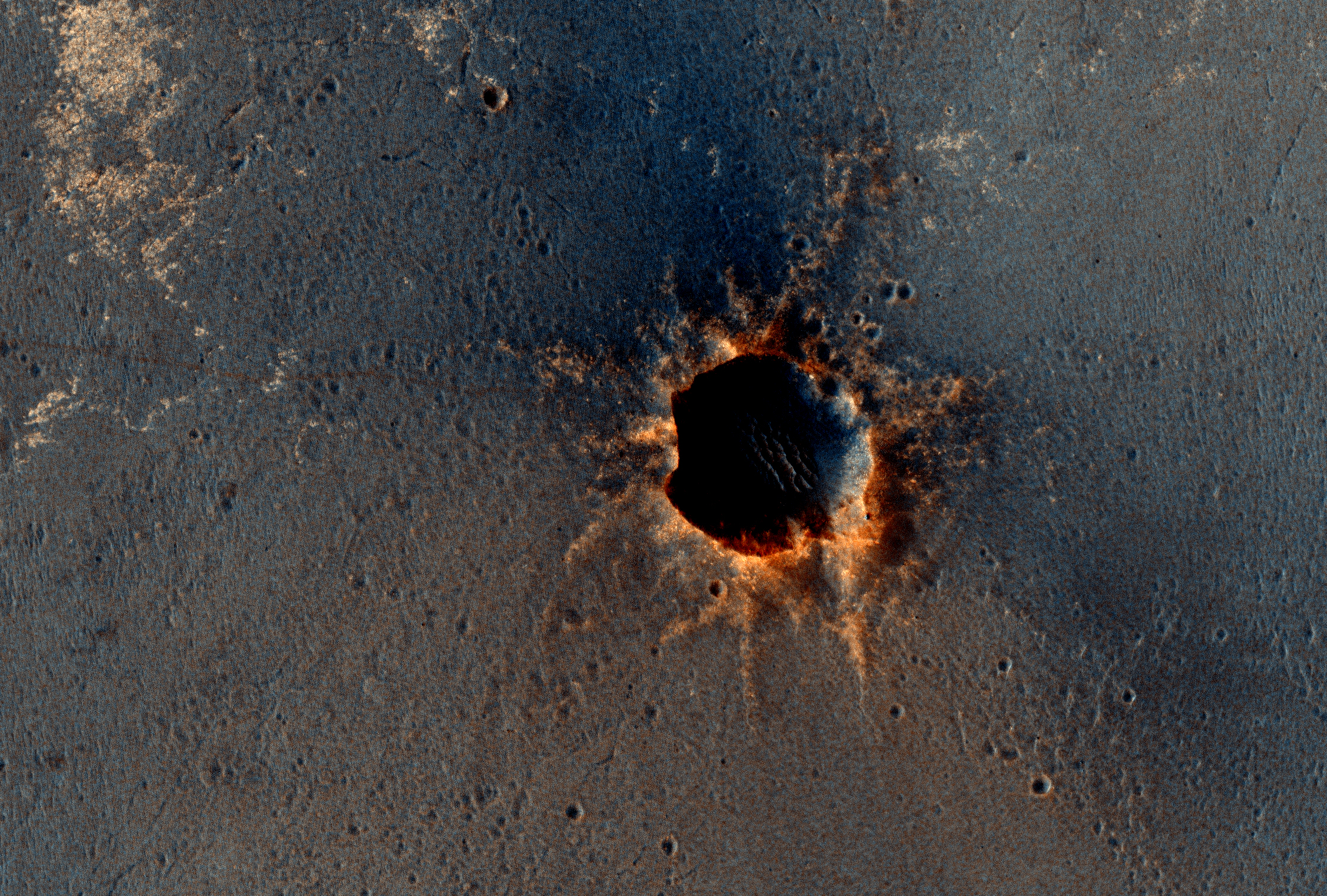
The impact that excavated Huygens lifted material from far underground and piled some of it in the crater's rim. At about the 10 o'clock position around the rim of Huygens lies an unnamed crater about 35 kilometers (22 miles) in diameter that has punched into the uplifted rim material and exposed rocks containing carbonate minerals. The minerals were identified by observations with the Compact Reconnaissance Imaging Spectrometer for Mars on NASA's Mars Reconnaissance Orbiter.

North is toward the top of this image, which is centered at 14 degrees south latitude, 304.4 degrees west longitude.

The image combines topographical information from the Mars Orbiter Laser Altimeter instrument on NASA's Mars Global Surveyor with daytime infrared imaging by the Thermal Emission Imaging System camera on NASA's Mars Odyssey orbiter.

Photo credit: NASA/JPL-Caltech/Arizona State University

Saturday, March 12, 2011

Opportunity is Still Smiling


The High Resolution Imaging Science Experiment (HiRISE) camera on NASA's Mars Reconnaissance Orbiter acquired this color image on March 9, 2011, of "Santa Maria" crater, showing NASA's Mars Exploration Rover Opportunity perched on the southeast rim.

The rover is the bluish speck at about the four o'clock position on the crater rim (with indicator arrow on Figure 1). North is up. Rover tracks are visible to the west of the crater.

Opportunity has been studying this relatively fresh, 90-meter-diameter (295-foot-diameter) crater to better understand how crater excavation occurred during the impact and how it has been modified by weathering and erosion since. Note the bright blocks and rays of ejecta surrounding the crater.

Spectral information from the Compact Reconnaissance Imaging Spectrometer for Mars (CRISM), which is also on the Mars Reconnaissance Orbiter, indicates a hydrated sulfate at this location. Opportunity will soon resume a long-term trek toward a much larger crater, Endeavour. Santa Maria is about 6 kilometers (about 4 miles) from the rim of Endeavour crater, where CRISM indicates both hydrated sulfates as well as phyllosilicates that formed in a wetter past.

This view is one product from the HiRISE observation cataloged as ESP_021536_1780.

Comparisons with earlier HiRISE images of Santa Maria crater (PIA13706 and PIA13754) show the site before and shortly after the rover's arrival.

Photo credit: NASA/JPL-Caltech/University of Arizona